
Winter Weather Advisory
Could someone get a foot of new snow by Wednesday PM?

A Winter Weather Advisory remains in effect through Wednesday morning for the lakeshore counties and until 7 pm this evening the next set of counties inland from the lake (Lake, Newaygo, Kent, Barry, Kalamazoo and Cass) plus Ionia, Eaton, Ingham, Calhoun and Jackson Counties.
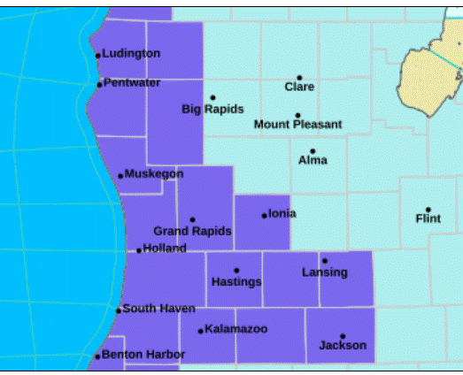
The counties in purple on the map above are under the Advisory. All of Lower Michigan is under a Cold Weather Advisory for wind chill temperatures of 10-20 below zero.
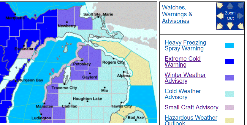
Up north Advisories continue for the counties that border Lake Michigan plus the Cheboygan and Gaylord areas and for the counties along the Lake Superior shoreline between S. Ste. Marie and Marquette.
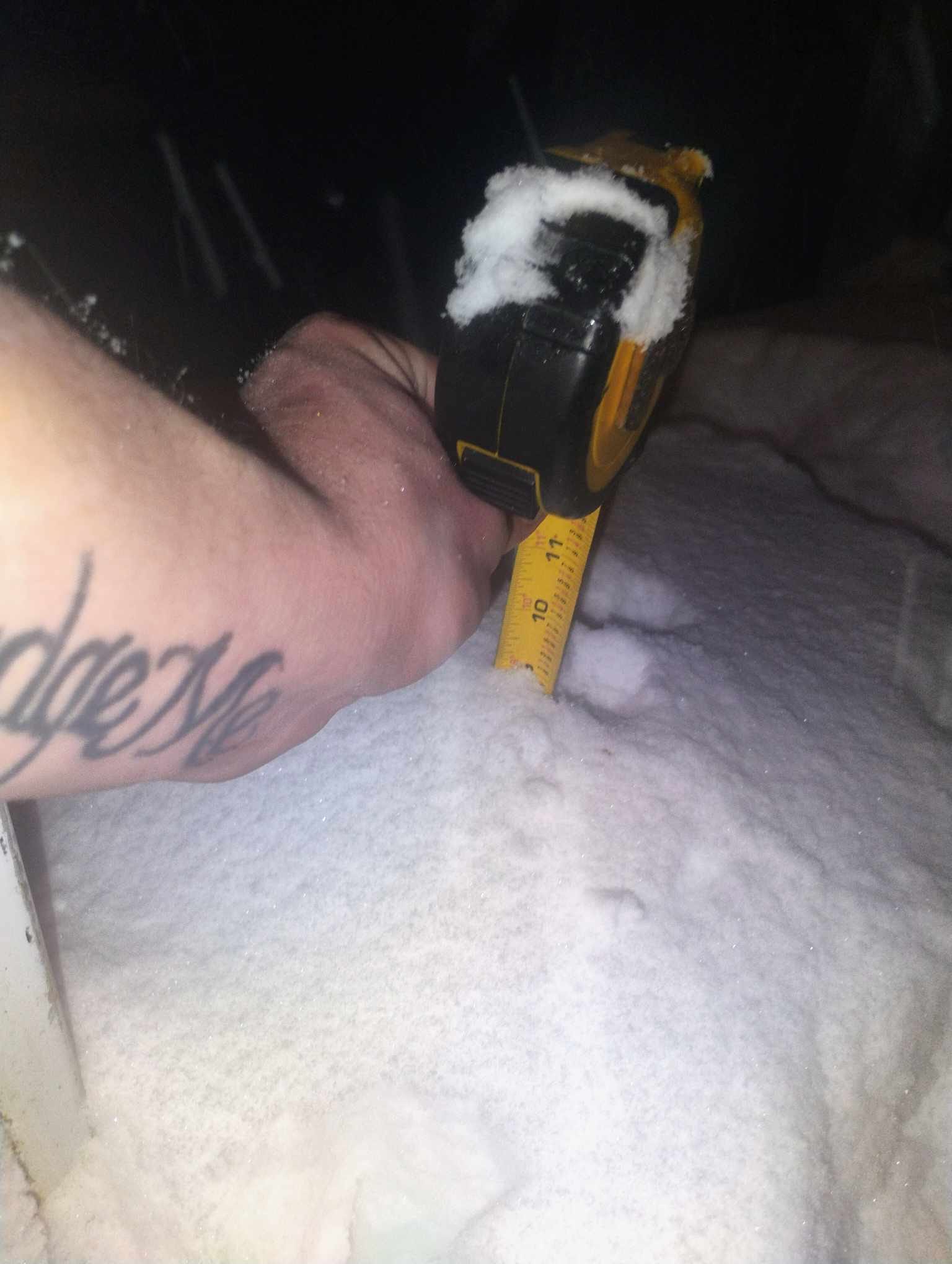
Picture from JMS in Hudsonville showing over 9” of snow on the ground.
As of midnight, some snowfall totals:
Gr. Rapids 3.6” Monday, 17.6” for the month, 48.6” for the season, 7” on the ground Muskegon 1.9” Monday, 20.0” for the month, 41.5” for the season, 7” on the ground Lansing 1.5” Monday, 22.0” for the month, 24.4” for the season, 3” on the ground Kalamazoo 1.6” Monday, 14.5” for the month, 29.1” for the season, 3” on the ground Holland season snowfall 43.4” Milwaukee Trace Monday, 1.7” for the month, 10.5” for the season, 0” on the ground Sault Ste. Marie 0.6” Monday, 38.1” for the month, 117.2” for the season (49.3” above average.
Sault Ste. Marie has had the snow magnet this winter. Most of our snow in West Michigan has been lake-effect. You can see the difference in season snowfall between Grand Rapids and Milwaukee.