
Sunny, but Cool for the Whitecaps Home Opener This Evening
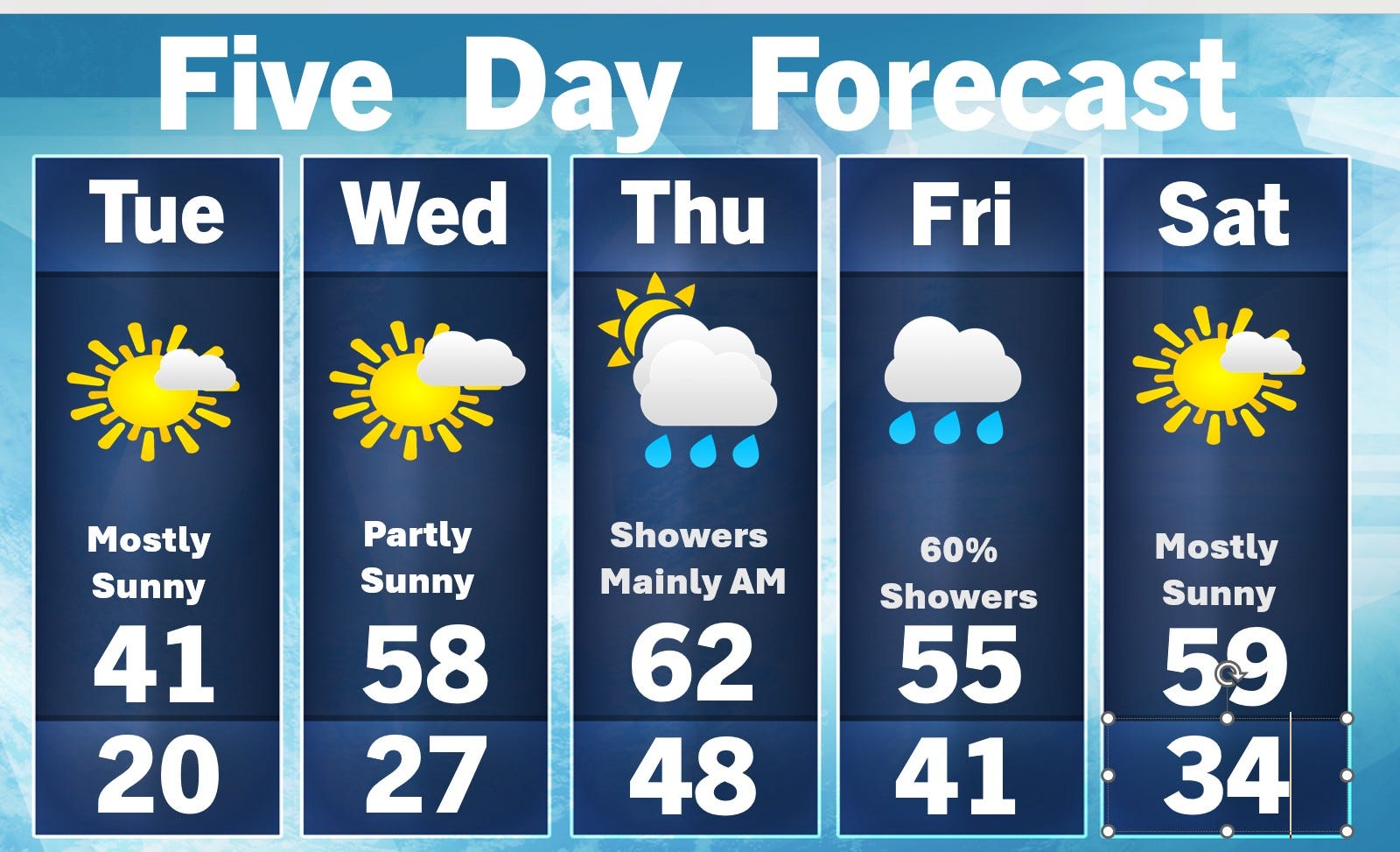
Next rain comes Wed. night/Thursday

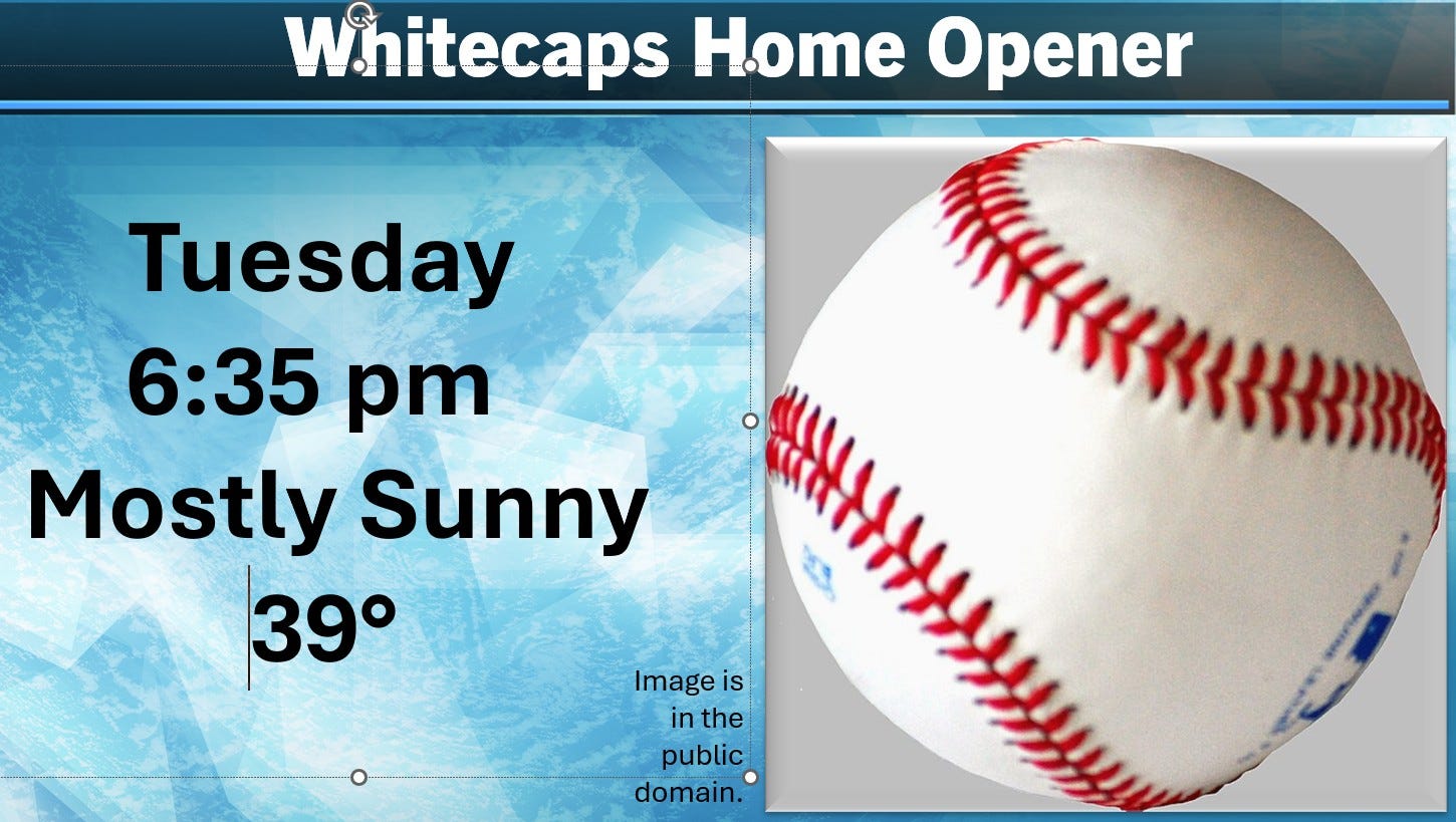
The Whitecaps first home game is this evening (Tue.) and the weather looks pleasant, but cool. The average high temperature this week is mid 50s, but we’ll only reach the upper 30s to low 40s this afternoon. The good news is that the sun will shine much of the afternoon. The wind will be light, less than 5 mph during the game.
Today (Tue.) will be the coolest day of the week. We’ll start today with a north wind, which is coming down from Canada, across a solid snowpack down to far northern Lower Michigan. Monday AM snow cover: Harbor Springs 7”, Mancelona 2”. Early this AM (Tue.) Marquette (arpt.) still had 37” of snow on the ground Tue. morning and the last check at Herman MI - they reported 40” of snow cover.
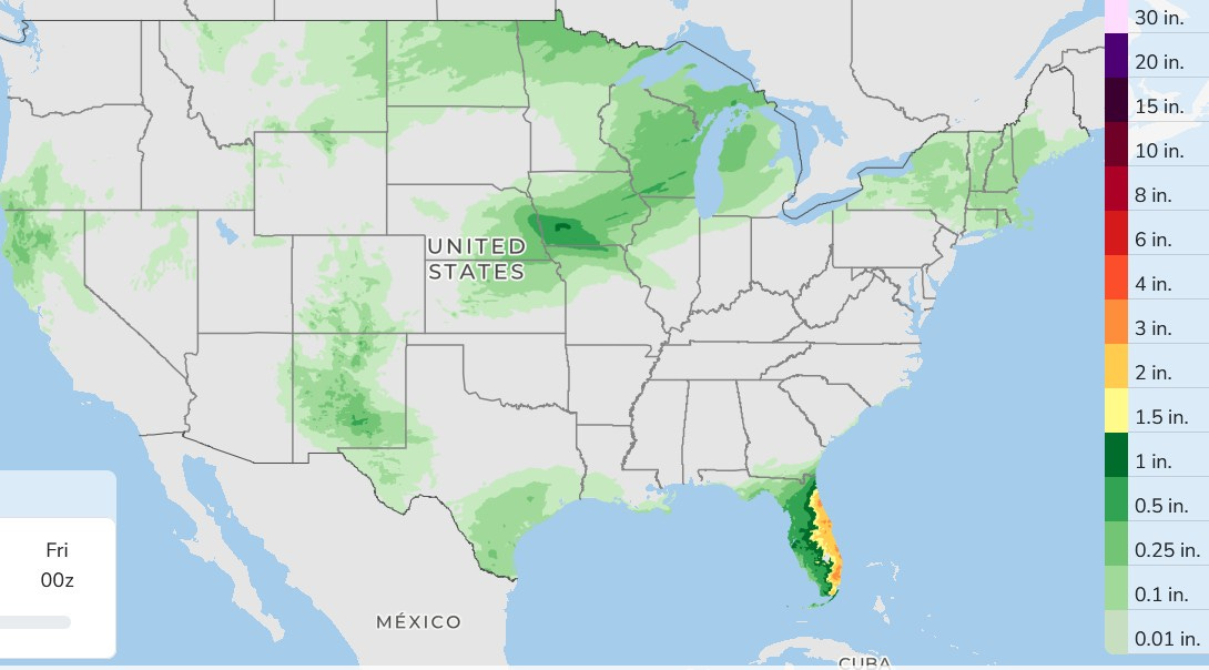
Here’s 66-hour total forecast rainfall. For West Michigan, this would come Wed. night into Thursday AM. Rainfall forecasts: Grand Rapids 0.13”, Big Rapids 0.30”. The heaviest rain will be in the Florida Peninsula, with a few 2-3” totals possible. They have been on the dry side and could use some rain. Northern California gets another round of showers, as does South Texas
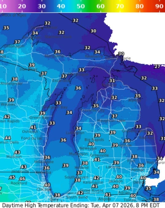
Here’s forecast high temperatures for today. These are chilly temps., especially considering the sunshine. Upper 30s to Low 40s for inland areas and mid-upper 30s at Lake Michigan. Gaylord is expecting a high of 32 and S. Ste. Marie only 30.
Tornado confirmed - Saturday near Detroit - pic. from National Weather Service Here’s the details:
...NWS Damage Survey for 04/04/2026 Tornado Event...
.Van Buren Township Tornado...
Rating: EF-1
Estimated Peak Wind: 100 mph
Path Length /statute/: 3.25 miles
Path Width /maximum/: 200 yards
Fatalities: 0
Injuries: 0
Start Date: April 4, 2026
Start Time: 5:46 PM EDT
Start Location: 2 NE Willis / Wayne County / MI
Start Lat/Lon: 42.1788 / -83.5371
End Date: April 4, 2026
End Time: 5:50 PM EDT
End Location: Belleville / Wayne County / MI
End Lat/Lon: 42.2009 / -83.4749
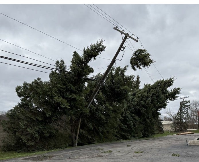
The tornado started just south of Martz Rd between Rawsonville Rd
and Hoeft Rd. It first flipped a hayride trailer and continued
northeast toward Hull Rd. EF-1 damage occurred along Hull Rd with
the greatest concentration of EF-1 damage along and just south of
Hull Rd between Elwell Rd and Bak Rd. This damage included
multiple trees uprooted and snapped, telephone poles snapped, and
a large barn wall blown out. The tornado continued northeast
crossing Sumpter Rd producing EF-0 damage with scattered large
tree limbs and power lines downed. The tornado lifted right
before reaching Savage Rd.ALSO: Ann Arbor is celebrating. Colorado Reservoir dries up. Flooding in Argentina. There is still a Northern Hemisphere Polar Vortex…right now over northeast Canada. Massive tanker explosion in Panama. Super high-quality video of the moon just released. Dam break in Russia. Snow covered volcano erupting in Mexico. Airport roof collapse after a heavy rain. Zillions of bats spiral as they leave a cave to feed at night in Mexico. Hail in Turkey. Mammatus clouds in Paraguay. Lots of snow in Perugia, Italy. Dust storm in Pakistan.
Thank you. Be Blessed
Thank you
Great looking forecast.
Farmers need the rain