
Michigan Misses a Snowstorm
Major storm passes to our south

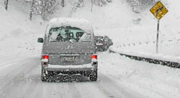
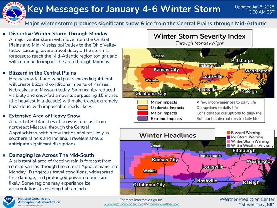
Today, Michigan is missing a snowstorm. Heavy snow will fall across parts of Central and Southern Illinois, Indiana and Ohio today into early Monday. South of the band of heavy snow, an ice storm is likely to down trees and power lines.

As I type this Sunday AM - this is the National Weather Service Hazards Map. The bright red in Kansas and northwest Missouri is a Blizzard Warning. The pink colored counties are under a Winter Storm Warning. The dark purple from southeast Missouri to western Kentucky is an Ice Storm Warning and the purple counties on either side of the Winter Storm Warnings are under a Winter Weather Advisory.
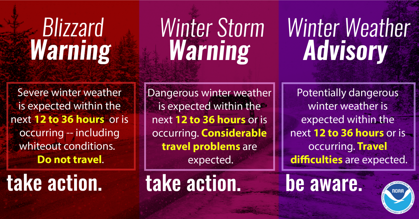
Here’s the definitions of the Warnings and Advisory:

Snowfall amounts could reach 12-19 inches across this area. Wind gusts of 30-40 mph will cause significant blowing and drifting snow. South of the heavy snow, there will be an ice storm with up to half an inch of ice accumulation, enough to down trees and wires. Travel will be difficult to impossible across these areas.
The Kansas City Chiefs are not playing at home this Sunday. They are playing in Denver. The Chief’s plane was “stranded” at the Kansas City Airport on Saturday due to a “rapid ice accumulation”. The airport closure last about two hours and the team got to Denver just fine.
Jacksonville and Indianapolis are playing at 1 pm in Indianapolis. Lucas Oil Stadium has a roof, but it may get interesting on the way home from the game, with 6-9” of snow expected along with perhaps a glaze of freezing rain.